Documents for Keyword: aerial image
-
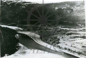
2014.003.5266 Burton, pre-flood
-
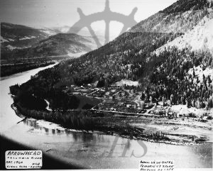
2014.003.5213 Arrowhead, Columbia River, abt. 1960
-
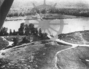
2014.003.5212 12 Mile Ferry, west side
-
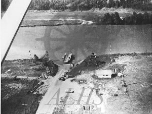
2014.003.5211 12 Mile Ferry
-
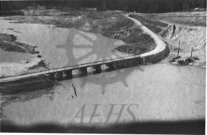
2014.003.5204 West Arrow Park, June 18 ’67, Mosquito Creek Bridge 2
-
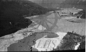
2014.003.5203 West Arrow Park, June 18 ’67, bridge
-
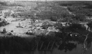
2014.003.5202 Burton, June 1967
-
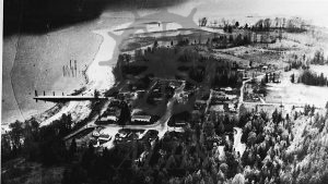
2014.003.5196 Edgewood, 1960s
-
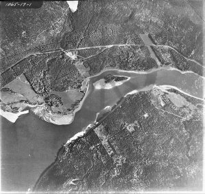
2014.003.4730 1065-17-1
-
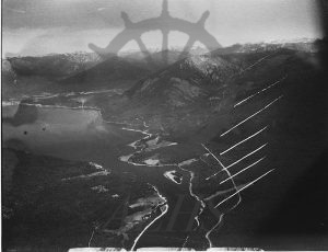
2014.003.4714 Demars to Nakusp, aerial
-
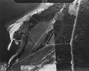
2014.003.4713 Morton Ranch, aerial
-
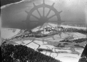
2014.003.4712 Morton Ranch, aerial, April 10 62
-
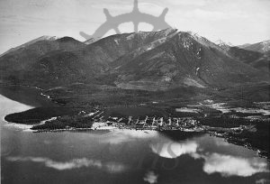
2014.003.4367 Nakusp #2
-
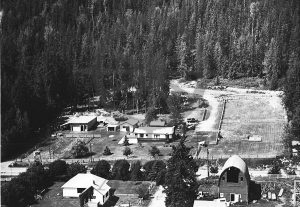
2014.003.4290 Roll’s farm, 1985
-
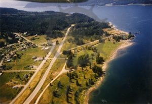
2019.013.21 Aerial view, Fauquier, August 1984
-
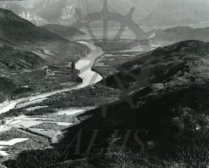
2014.003.2034 Columbia River, Hall’s, etc.
-
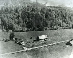
2014.003.2033 Douglas ranch
-
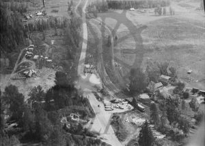
2014.003.1898 Hascarl siding & poleyard at Brouse, 1930-40s
