Documents for Keyword: aerial image
-
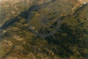
2016.003.70 Little lake at “Big Ledge”
-
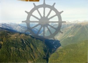
2016.003.72 C142-19A Fish?
-
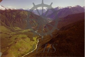
2016.003.62 Fish River, Beaton. 1981 C58-A-29
-
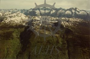
2016.003.64 2 hour flight, 1982, Big Ledge. #18
-
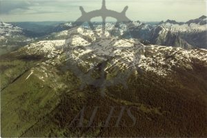
2016.003.63 2 hour flight, 1982, Big Ledge. #17
-
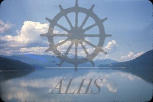
1999.019.216 Looking up the lake from plane, July 24 – 68
-
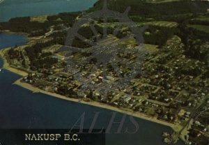
2002.024.2 Nakusp B.C.
-
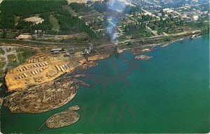
990.013.21.2 Nakusp, B.C. Highway Six.
-
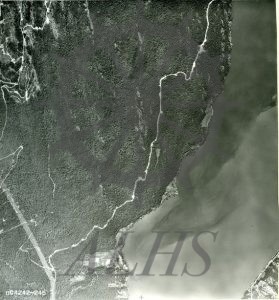
2016.013.3.1 BC4242-245
-
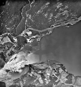
2016.013.1.72 BC5030:98 (Needles & Fauquier)
-
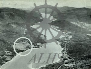
2016.013.1.22 The Lower Arrow Lake
-
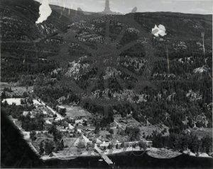
2016.013.1.3 “Old” Edgewood – taken in the early “40s.”
-
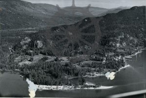
2016.013.1.2 Edgewood – Early 40s
-
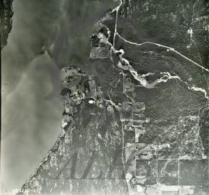
2016.013.1.1 BC4242-247
-
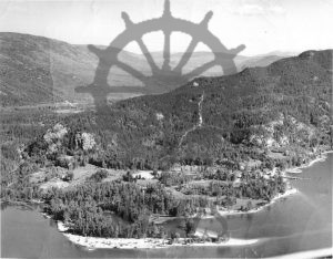
2015.028.163 Old Edgewood townsite
-
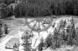
2015.028.149 Whatshan dam townsite 1957
-
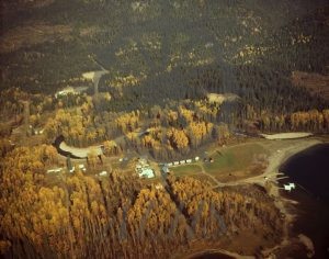
2014.026.643 Trout Lake, air, October 1974
-
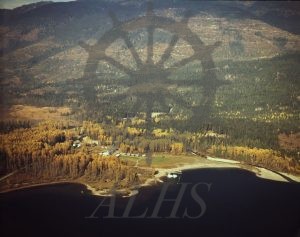
2014.026.642 Trout Lake, air, October 1974
-
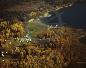
2014.026.641 Trout Lake, air, October 1974
-
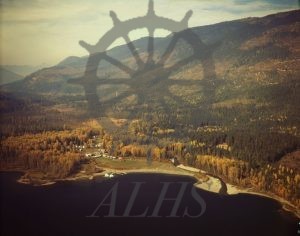
2014.026.640 Trout Lake, air, October 1974
