
Documents for Keyword: aerial image
-
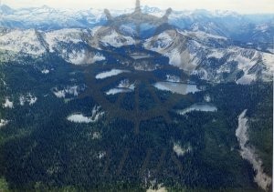
2016.003.163 C137-11 Hamling Lakes
-
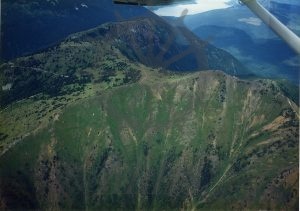
2016.003.162 C137-10, Ridge east of “Scalping Knife”
-
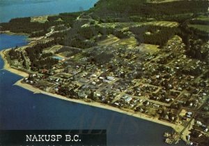
2016.003.161 C137-13 Nakusp
-
2016.003.160 C138-22A Nakusp.
-
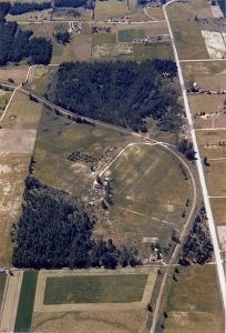
2016.003.109 C142-23A (Glenbank and Brouse)
-
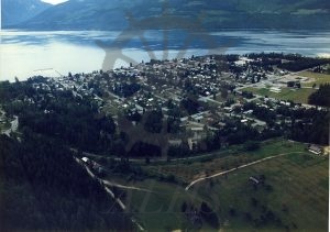
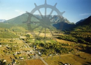
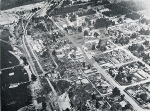
2015.003.1.17 Aerial view, Nakusp, early 1980s
-
2015.003.1.16 Aerial view, Nakusp, early 1980s
-
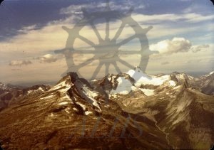
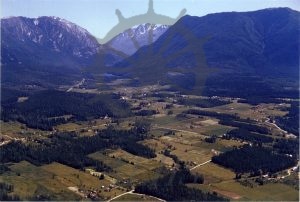
2015.003.1.15 Mounts Burnham and Odin, early 1980s
-
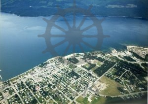
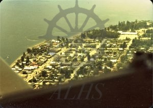
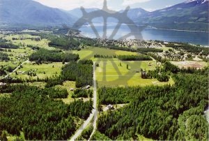
2015.003.1.14 New Waterfront — Nakusp
-
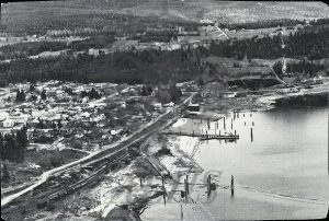
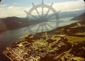
2015.003.1.13 Old Waterfront — Nakusp
-
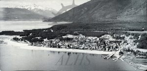
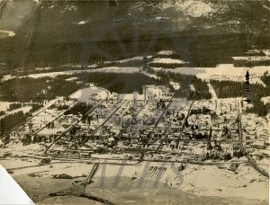
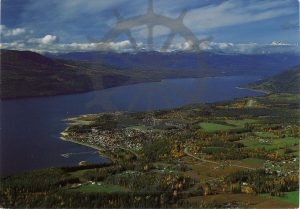
2012.014.4 Nakusp, British Columbia, 1950’s
-
2009.004.133 McDonald Creek
-
2007.008.2 Nakusp BC
-
2004.004.217 Baird Farm.
-
2004.004.216 Brouse
-
2004.004.215 Wells Rd. Nakusp
-
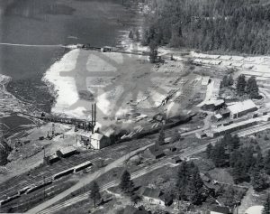
2000.035.44 Big Bend Lbr Co. Nakusp, 1940s, Carney Pole yard.
-
2000.035.2.1 Nakusp B.C.
-
2000.035.1.1 Nakusp B.C.
-
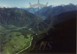
2016.003.61 Incomappleux River, Beaton, 1981