
Documents for Location: Shelter Bay
-
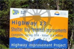
2022.024.004 Highway 23 Shelter Bay Terminal Improvements
-
2022.024.003.4 Option Eight Crossing – Road services new development
-
2022.024.003.3 Option Eight Crossing – Existing Sidmouth Road
-
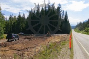
2022.024.003.2 Option Eight Crossing – New Roadway 8 m shoulder to shoulder
-
2022.024.003.1 Option Eight Crossing – New Road at Old Sidmouth Road
-
2022.024.002.30 Highway 23 north junction with Old Sidmouth Road
-
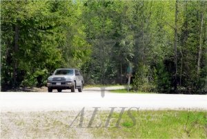
2022.024.002.29 Old Sidmouth Road junction
-
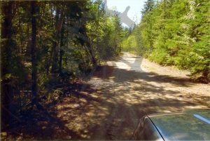
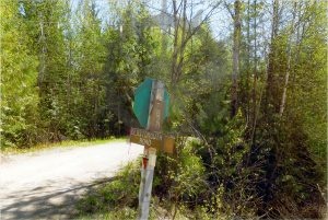
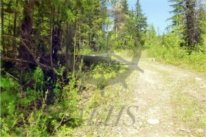
2022.024.002.28 Old Sidmouth Road
-
2022.024.002.27 Take off point from Old Sidmouth Road to bridge over Cranberry Creek
-
2022.024.002.26 Flats where proposed causeway would go
-
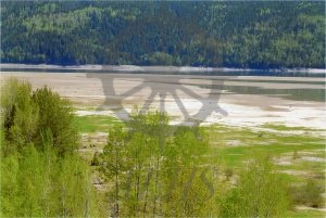
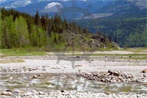
2022.024.002.25 Above Cranberry Creek flats north of Cranberry Creek
-
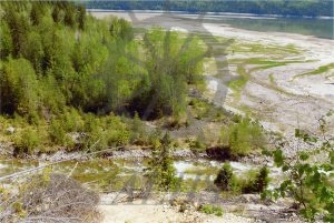
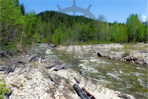
2022.024.002.24 Cranberry Creek and south embankment
-
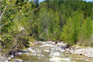
2022.024.002.23 Cranberry Creek shoreline
-
2022.024.002.22 Rock out cropping at causeway start point
-
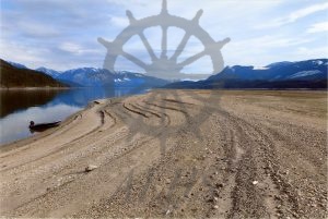
2022.024.002.21 Sidmouth shoreline area – lake level 1412 feet
-
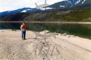
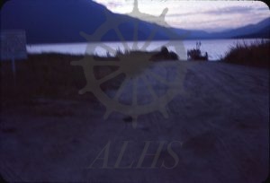
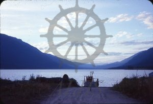
2022.024.002.20 Old Sidmouth Landing and roadway
-
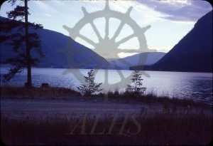
2022.009.4.38 Upper Arrow Lake from Shelter Bay, ca. 1969
-
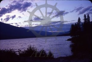
2022.009.4.37 Upper Arrow Lake from Bannock Point, Shelter Bay, ca. 1969
-
2022.009.4.13 Ferry at Shelter Bay
-
2022.009.4.12 Ferry at Shelter Bay