
Documents for Keyword: Highway 6
-
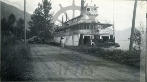
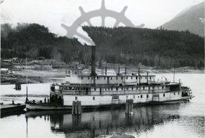
2000.007.2 Minto tied up at High Water
-
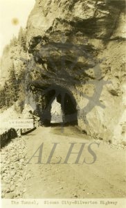
2000.005.22 The Tunnel, Slocan City-Silverton Highway
-
2000.005.18 Needles
-
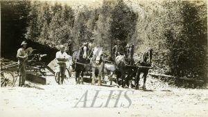
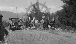
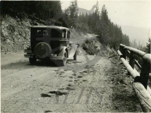
970.32.6.38 Road work, West Demars to Glendevon, 1927
-
970.32.6.1 Road crew, 1926
-
970.32.5.15 Road crew, Nakusp-Arrow Park?
-
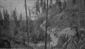
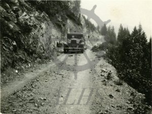
970.32.5.8 South road, Dog Creek
-
970.32.3.5 081572 (Dog Creek Bridge)
-
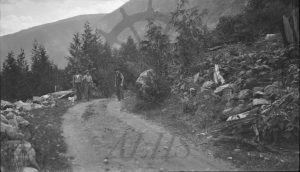
970.32.1.21 Road crew, 1926
-
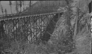
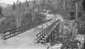
970.32.1.7 Dog Creek Bridge
-
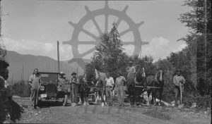
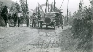
970.32.1.5 Road crew, 1926
-
992.003.18 Monashee turnabout
-
992.003.12 Monashee turnabout
-
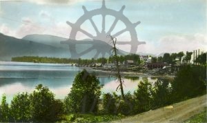
990.010.5 Nakusp from bay
-
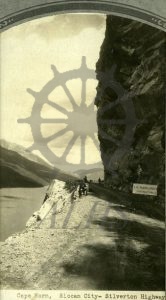
989.11 Cape Horn, Slocan City-Silverton Highway
-

988.054.1 Nakusp, B.C.
-
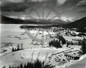
2018.007.6 Bird’s-eye view of Nakusp and Rothwell Point in winter, ca. 1968
-
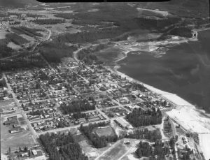
2018.007.5 Bird’s-eye view of Nakusp, 1968
-
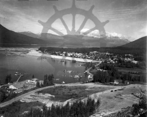
990.008.1 Nakusp
-
2011.023.24 Minto old houses