
Documents for Keyword: aerial image
-
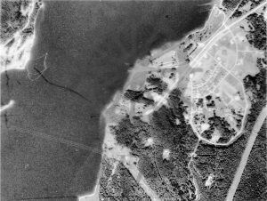
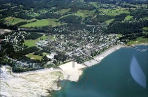
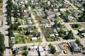
2023.002.001.4a Aerial view, Fauquier
-
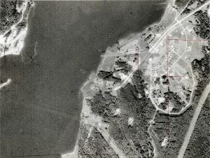
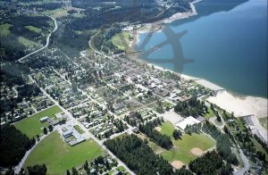
2023.002.001.4 Aerial view, Fauquier
-
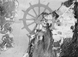
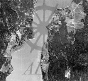
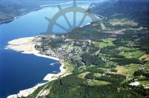
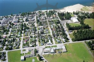
2023.002.001.3 Aerial view, Needles and Fauquier, mid-20th century
-
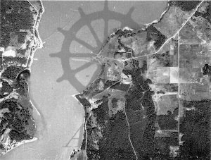
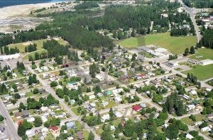
2023.002.001.2 Aerial view, Needles and Fauquier, mid-20th century
-
2023.002.001.1 Aerial view, Needles and Fauquier, mid-20th century
-
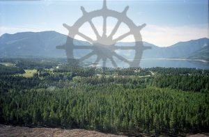
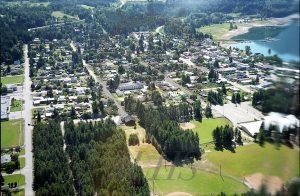
2020.007.5.34.18 2001 Helicopter Ride
-
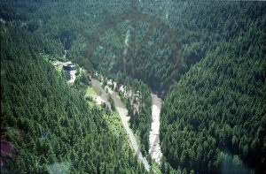
2020.007.5.34.17 2001 Helicopter Ride
-
2020.007.5.34.16 2001 Helicopter Ride
-
2020.007.5.34.15 2001 Helicopter Ride
-
2020.007.5.34.14 2001 Helicopter Ride
-
2020.007.5.34.13 2001 Helicopter Ride
-
2020.007.5.34.12 2001 Helicopter Ride
-
2020.007.5.34.11 2001 Helicopter Ride
-
2020.007.5.34.10 2001 Helicopter Ride
-
2020.007.5.34.9 2001 Helicopter Ride
-
2020.007.5.34.8 2001 Helicopter Ride
-
2020.007.5.34.7 2001 Helicopter Ride
-
2020.007.5.34.6 2001 Helicopter Ride
-
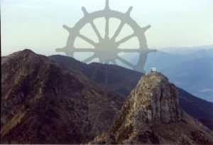
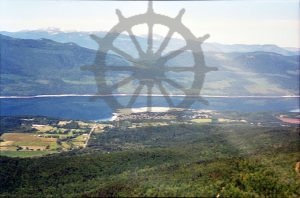
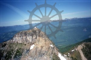
2021.002.2.18 Saddle Mountain Lookout, 14 September 1990
-
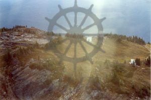
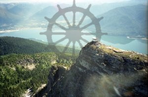
2021.002.2.17 Saddle Mountain Lookout, 14 September 1990