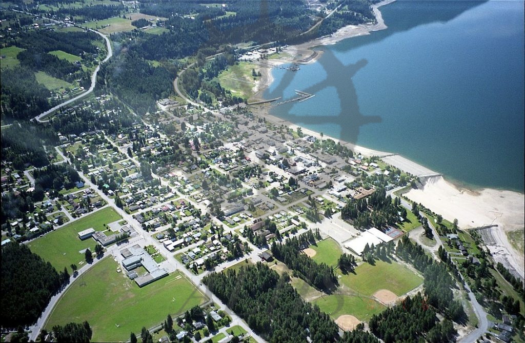
: Aerial view of Nakusp looking southeast, 7 June 2001. Nakusp Elementary School and Nakusp Secondary School at bottom left. Nakusp Recreation Park at bottom centre to bottom right. Nakusp Public Beach at centre right. Glenbank and Highway 6 East at top left. Rothwell Point and Highway 6 South atop centre. Upper Arrow Lake at right. Downtown Nakusp at centre.
Purchase Print
Purchased images are for personal use only and not for resale or redistribution. To obtain a licensing agreement please contact: [email protected].