Paddle steamer wheel

Arrow Lakes
Historical Society

2016.003.207.26 Trout Lk Road to Beaton 1981 C58-A-28

: 2016.003.207.26

:

:

: 1981-- - --

: Milton Parent

: Milton Parent

: 1980s, aerial image, Cranberry Mountain, Gates Peak, Gold Range, Highway 31, Horsefly Peak, Monashee Mountains, Mount Burnham, Mount Grady, Mount Odin, Mount Thor, Selkirk Mountains, Storm Point/The Thumb, and Upper Arrow Lake

: Galena Bay

:
1 colour photograph (15.0 cm x 10.1 cm)

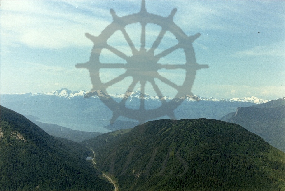
:
Aerial view taken from above Highway 31 between Galena Bay and Beaton, 1981. Upper Arrow Lake at centre left. Storm Point at centre. Monashee Mountains on horizon in distance. Mountains L-R: Mount Burnham/Mount Grady, Mount Odin, Mount Thor, Horsefly Peak, Gates Peak, Cranberry Mountain.

Purchase Print

Purchased images are for personal use only and not for resale or redistribution. To obtain a licensing agreement please contact: [email protected].

Paper

Print Size/Format

Digital

Print Size/Format