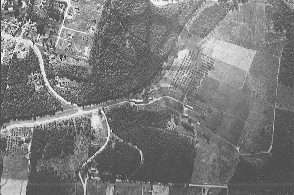
: Detail of 1952 forestry air photo of Nakusp focusing on northeast Nakusp and extreme west Glenbank (Home Ranch, future Valhalla subdivision, Government Hill, and Shakespeare Avenue). Nakusp & Slocan (Canadian Pacific) Railway runs through image. Northeast corner of Nakusp village at top left. Highway 6 switchbacks up Government Hill at left. Church Hill Road meets Shakespeare Avenue at bottom. Home Ranch occupies right half of image.
Purchase Print
Purchased images are for personal use only and not for resale or redistribution. To obtain a licensing agreement please contact: [email protected].