Documents for Location: Bayview
-
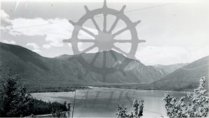
2023.020.006 The Upper Arrow Lake near Bayview Dog Creek area
-
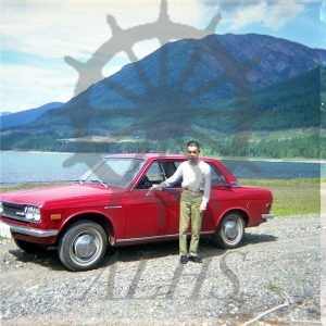
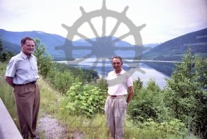
2020.007.5.18.4 Masa Uyeda, 1972
-
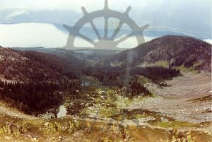
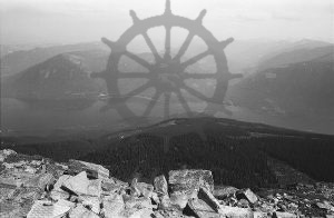
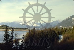
2021.002.2.19 Alpine, Upper Saddle Mountain, 14 September 1990
-
2014.003.7909 Borgat Brothers
-
2014.003.7668 Looking down at Bayview from Saddle, Aug. 2000
-
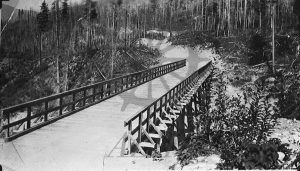
2014.003.2783 Dog Creek Bridge
-
2016.003.233 C124-4 Demars area, south of Nakusp on the Arrow Lakes.
-
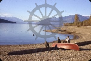
2018.012.5 Donnelly’s Beach – 57.
-
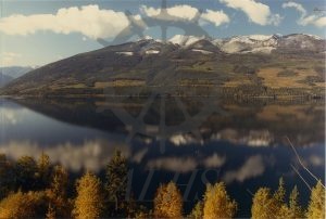
2016.003.175 C104-12 (Saddle Mountain in autumn)
-
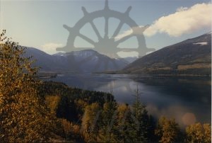
2016.003.174 C104-10 (Upper Arrow Lake in autumn)
-
2015.003.1.22 Kuskanax Mountain from McDonald Creek, early 1980s
-
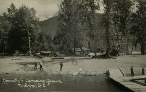
2009.004.150 Donnelly’s Camping Ground, Nakusp, B.C.
-
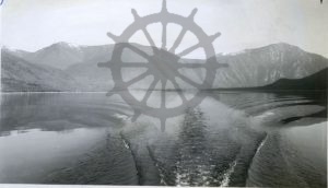
970.32.5.50 View of Upper Arrow Lake from Scalping Knife Mountain
-
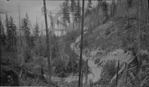
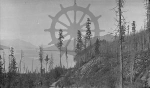
970.32.5.8 South road, Dog Creek
-
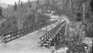
970.32.3.5 081572 (Dog Creek Bridge)
-
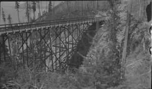
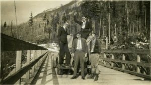
970.32.1.7 Dog Creek Bridge
-
2011.010.50 Mountain Meadow & Scalping Knife Mountain
-
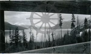
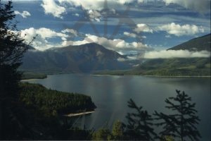
2011.010.22 Upper Arrow Lake.
-
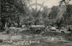
2009.004.59 Donnelly’s Camping Ground, Nakusp, B.C.
-
2001.037.285 Dog Creek near Bayview