Documents for Keyword: aerial image
-
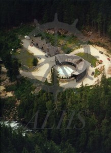
2012.004.2.4 Nakusp Hot Springs and Cedar Chalets ca. 1993
-
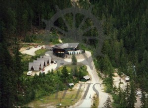
2012.004.2.3 Nakusp Hot Springs and Cedar Chalets
-
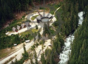
2012.004.2.2 Nakusp Hot Springs complex and Kuskanax Creek ca. 1993
-
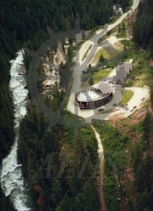
2012.004.2.1 Nakusp Hot Springs complex above Kuskanax Creek, ca. 1993
-
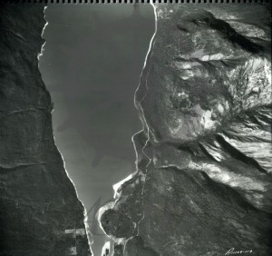
2007.008.1 Slewiskin Crick Area 7106 8035 app. 6 mile south of Nakusp B.C.
