
Documents for Keyword: 2010s
-
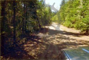
2022.024.002.28 Old Sidmouth Road
-
2022.024.002.27 Take off point from Old Sidmouth Road to bridge over Cranberry Creek
-
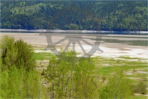
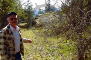
2022.024.002.26 Flats where proposed causeway would go
-
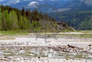
2022.024.002.25 Above Cranberry Creek flats north of Cranberry Creek
-
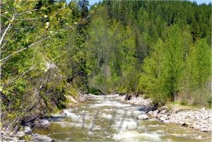
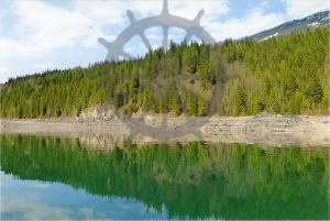
2022.024.002.24 Cranberry Creek and south embankment
-
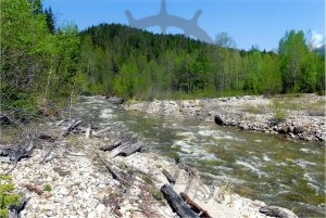
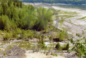
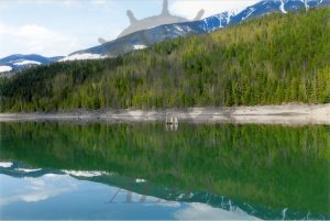
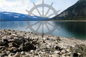
2022.024.002.23 Cranberry Creek shoreline
-
2022.024.002.22 Rock out cropping at causeway start point
-
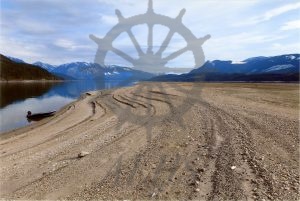
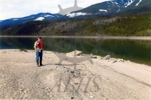
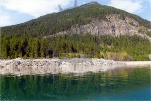
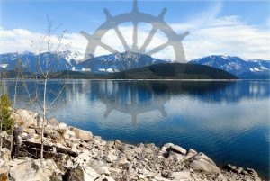
2022.024.002.21 Sidmouth shoreline area – lake level 1412 feet
-
2022.024.002.20 Old Sidmouth Landing and roadway
-
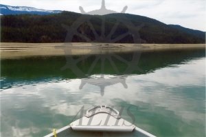
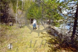
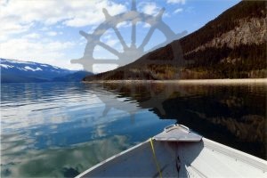
2022.024.002.19 Approaching Sidmouth Landing – west side
-
2022.024.002.18 Sidmouth Landing area (mile 24)
-
2022.024.002.17 Shoreline at proposed new roadway site
-
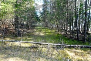
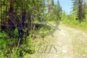
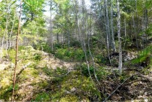
2022.024.002.16 Old road way 40 feet wide
-
2022.024.002.15 Direction of proposed road upgrade at Arrowhead
-
2022.024.002.14 Part of old road at landing site
-
2022.024.002.13 Rocky Arrowhead shoreline
-
2022.024.002.12 Arrowhead shoreline back to Storm Point causeway crossing site
-
2022.024.002.11 Approaching Arrowhead Landing site for causeway
-
2022.024.002.10 Rocky shoreline at proposed causeway location
-
2022.024.002.9 Rocky grade from Government Road to shoreline