Accession Num: 2016.013.3.1
Negative Code:
Extent:
Document Date: 1945-- - 1960--
Donors: Terryl Allen (Estate of Marvel Milne)
Creators: Province of British Columbia
Keywords: aerial image, Applegrove Road, and Lower Arrow Lake
Locations: Applegrove
Physical Description:
1 digital image (3337 x 3592 pixels)
Notes:
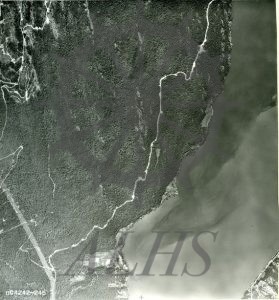
Aerial photo of Applegrove and Lower Arrow Lake, mid-20th century. South is at top, north is at bottom. Taite Creek mouth at bottom centre. Applegrove Road runs through centre of photo.
