Accession Num: 2016.005.248
Negative Code:
Extent:
Document Date: 1970-- - --
Donors: Annette Devlin and Brian Hopp
Creators: Doris Hopp
Keywords: 1970s, aerial image, farms, Ferret Road, Hopp Bros. dairy farm (Inonoaklin Valley), Inonoaklin Creek, Inonoaklin Valley Road, and Lower Arrow Lake
Locations: Edgewood
Physical Description:
1 colour digital photograph (3478 pixels x 3416 pixels)
Notes:
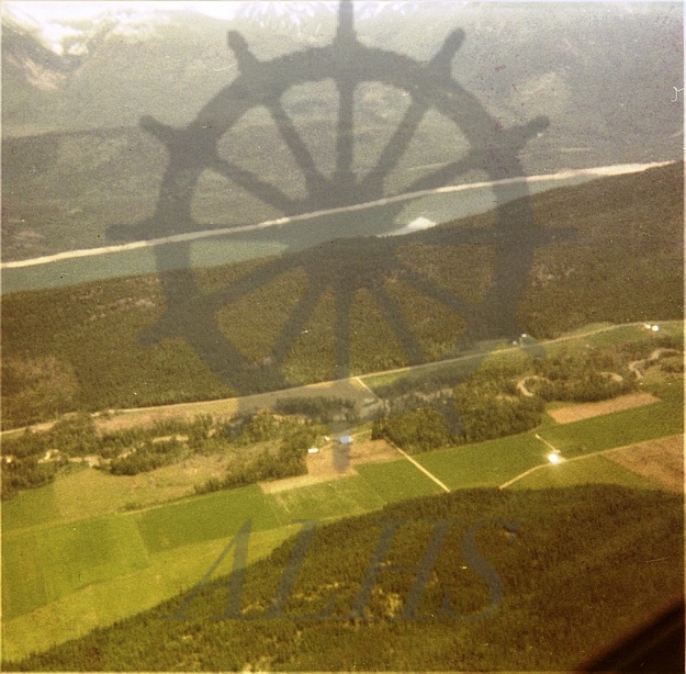
Aerial view from Sid Hopp's airplane of Hopp family farm, Inonoaklin Valley north of Edgewood, ca. 1970. View is looking southeast toward Lower Arrow Lake. Inonoaklin Creek run left-right (north-south) through image next to Inonoaklin Valley Road. Ferret Road at centre.