Accession Num: 2016.003.207.71
Negative Code:
Extent:
Document Date: 1983-- - --
Donors: Milton Parent
Creators: Milton Parent
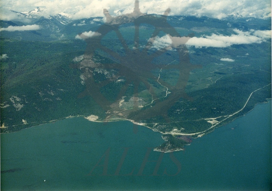
Keywords: 1980s, aerial image, Bannock Creek, Bannock Point, Gold Range, Highway 23, Monashee Mountains, Shelter Bay ferry landing, Shelter Bay Forest Service Road, and Upper Arrow Lake
Locations: Shelter Bay
Physical Description:
1 colour photograph (12.6 cm x 8.9 cm)
Notes:
Aerial view of Shelter Bay and Bannock Point, 1981. Bannock Creek valley (not Halfway River) at centre. Shelter Bay Forest Service Road runs along lake at centre left. Highway 23 runs from ferry landing just below centre to centre right along lake.