Accession Num: 2014.003.5626
Negative Code: F32-18
Extent:
Document Date: 1967-- - --
Donors: BC Hydro
Creators: BC Hydro
Keywords: 1960s, aerial image, cemetery, Lower McCormack Road, and Old Burton Cemetery
Locations: Burton
Physical Description:
1 b/w negative (35 mm)
Notes:
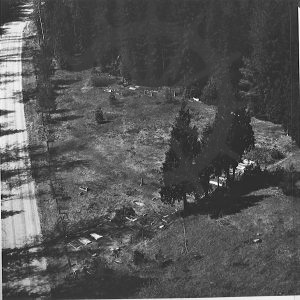
Aerial view of Burton Cemetery, McCormack Road, Burton, ca. 1967. The cemetery was soon encased in rock and gravel by BC Hydro for protection from the rising waters of the Columbia River caused by Hugh Keenleyside Dam in 1969.
