Accession Num: 970.32.6.66
Negative Code:
Extent:
Document Date: 1933-- - 1949--
Donors: Charlie Slade
Creators: Charlie Slade
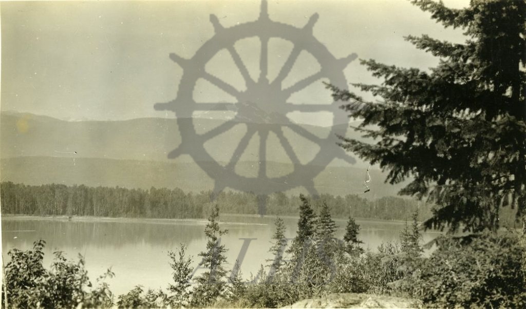
Keywords: Columbia River, Gold Range, Hughes Peak, Monashee Mountains, and Mount Hall
Locations: Sidmouth and Sproat
Physical Description:
1 b/w photograph (14.7 cm x 8.9 cm)
Notes:
Hughes Peak (centre), Mount Hall (ridge running through centre), and Columbia River (bottom) as east from east shore of river, Sidmouth/Sproat area, ca. 1930s-1940s.