Accession Num: 2022.024.002.8
Negative Code:
Extent:
Document Date: 2011-05-04 - --
Donors: Beaton Arm Crossing Association
Creators: Beaton Arm Crossing Association
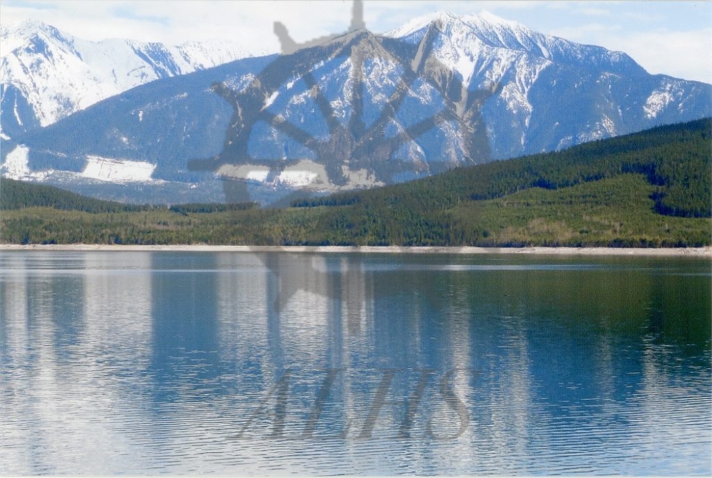
Keywords: 2010s, Beaton Arm Crossing (proposed), Lardeau Range, Northeast (Beaton) Arm, Selkirk Mountains, Storm Point/The Thumb, and Upper Arrow Lake
Locations: Galena Bay
Physical Description:
1 photograph : col. ; 15.2 x 10.1 cm
Notes:
View from Northeast (Beaton) Arm of the low point of the Storm Point peninsula ('The Thumb') proposed by Beaton Arm Crossing Association as the site of new highway connecting existing Highway 23 to two fixed-link crossings of Northeast (Beaton) Arm to replace the Upper Arrow Lake ferry, 4 May 2011. View is looking east-southeast toward Lardeau Range of Selkirk Mountains.