Accession Num: 2022.024.002.25
Negative Code:
Extent:
Document Date: 2011-05-28 - --
Donors: Beaton Arm Crossing Association
Creators: Beaton Arm Crossing Association
Keywords: 2010s, Columbia River, Cranberry Creek, Sidmouth Crossing (proposed), and Upper Arrow Lake
Locations: Shelter Bay and Sidmouth
Physical Description:
1 photograph : col. ; 15.2 x 10.1 cm
Notes:
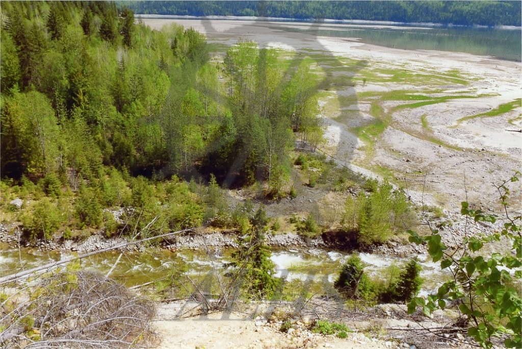
Overview, mouth of Cranberry Creek and adjacent flats exposed at low water, head of Upper Arrow Lake, Sidmouth, 18 May 2011. Columbia River at top. The image was taken as part of documentation of the Beaton Arm Crossing Association's proposed route for two fixed-link crossings of Upper Arrow Lake to replace the existing ferry. The northern causeway was proposed to meet the west shore of the lake near this point. The new highway would then cross Cranberry Creek at the bottom of the image.