Accession Num: 2022.024.002.22
Negative Code:
Extent:
Document Date: 2011-05-18 - --
Donors: Beaton Arm Crossing Association
Creators: Beaton Arm Crossing Association
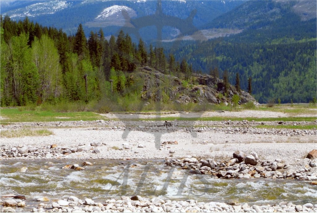
Keywords: 2010s, Columbia River, Cranberry Creek, Sidmouth Crossing (proposed), and Upper Arrow Lake
Locations: Shelter Bay and Sidmouth
Physical Description:
1 photograph : col. ; 15.2 x 10.1 cm
Notes:
View of the location of the west end of the Beaton Arm Crossing Association (BACA)'s proposed causeway that would connect Sidmouth to Arrowhead across Upper Arrow Lake/the Columbia River, Sidmouth, 18 May 2011. The image was taken as part of documentation of BACA's proposed route for two fixed-link crossings of Upper Arrow Lake to replace the existing ferry. Cranberry Creek is at bottom.