Accession Num: 2022.009.3.16
Negative Code: R39-72
Extent:
Document Date: 1967-- - --
Donors: Estate of Florence Adshead
Creators: Florence Adshead
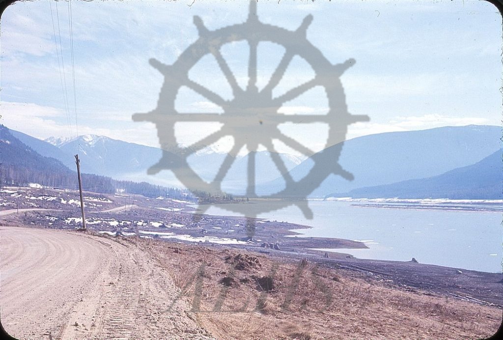
Keywords: 1960s, Arrow Lakes flooding (Columbia River Treaty), Columbia River, fire, Highway 6, Sand Island, The Narrows, utility pole, and Woden Peak
Locations: Carrolls Landing
Physical Description:
1 photograph : col. slide ; 35 mm
Notes:
Land cleared in advance of flooding to be created by the Arrow (Hugh Keenleyside) Dam alongside The Narrows (Columbia River) as seen from original alignment of Highway 6, Carrolls Landing, 1967. View is looking south toward Woden Peak and Burton. Sand Island at right. Haze in the image is from the burning of brush and debris piles associated with the clearing.